
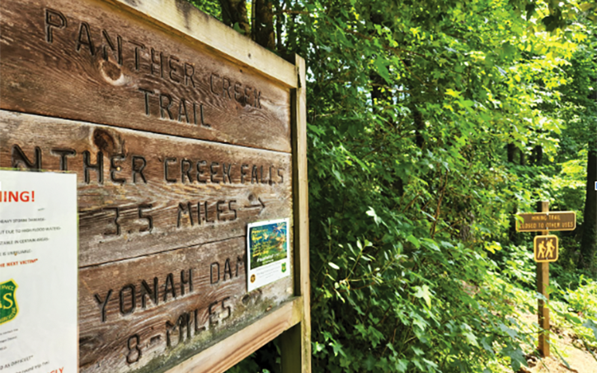
Panther Creek Recreation Area and Falls Trail is back in business after a nearly two-year closure.
The trail had been closed to visitors as a result of a “high intensity rain event caused flooding and washed out sections of the trail along with multiple foot bridges upstream of the waterfalls,” according to Judy Toppins, a spokesperson for the Forest Service.
She also added that the trail is fully reopened, but that visitors should be careful.
“The Panther Creek Falls Trail is currently open with no restrictions. However, the trail bridges that were destroyed in the storm have not yet been replaced, so hikers will need to cross a few small streams along the way. This makes the trail more appropriate for those with advanced hiking skills right now,” Toppins said.
Panther Creek Falls Trail and Recreation Area is a part of the Chattahoochee-Oconee National Forest and is under the USDA. The Forest Service maintains approximately 193 million acres of land containing 154 national forests and 20 national grasslands. The Panther Creek Falls Trail, specifically, is under the Chattooga River Ranger District.
The trail itself is a round trip of 6.6 miles with “steep slopes, rocky paths and very narrow and precarious stretches.”
After the flooding damage, extensive repairs were made to restore the trail to its original condition. These included repaired steps, water diversion, signage, and re-established trail tread.
Hikers have already started enjoying the trail again.
“[The trail] was a little more than we expected. … There were some thin parts, and you might see snakes and stuff, but overall it was definitely worth it to see the falls at the end,” said Braulio Godinez, who hiked the trail for the first time after the reopening.
“I did it when I was younger and it seemed a lot harder … but with the renovations it feels easier now. I think anyone could do it with a little experience,” said Lily Knowles.
Toppins also spoke of other new additions to the trail to increase safety.
“We are finalizing the engineering design for replacing the trail bridges, as well as two sections of trail reroute that will make the trail safer and reduce impacts to natural resources. Both of these efforts are in the planning and environmental analysis phase at this time, and we hope to begin implementing these in 2023 and 2024,” she said.
For those planning to hike soon, Toppins had advice on staying safe while navigating streams.
“Although the trail is currently open, we do want to make sure hikers are aware that they will encounter some rough sections of trail that require caution. Hikers will be required to ford small streams. … The Forest Service has attempted to establish safe and sustainable stream crossing areas, however care should be taken when negotiating these crossings. Streamflow can significantly increase during times of heavy rainstorms, so hikers should always check the weather prior to hiking this trail,” she said.
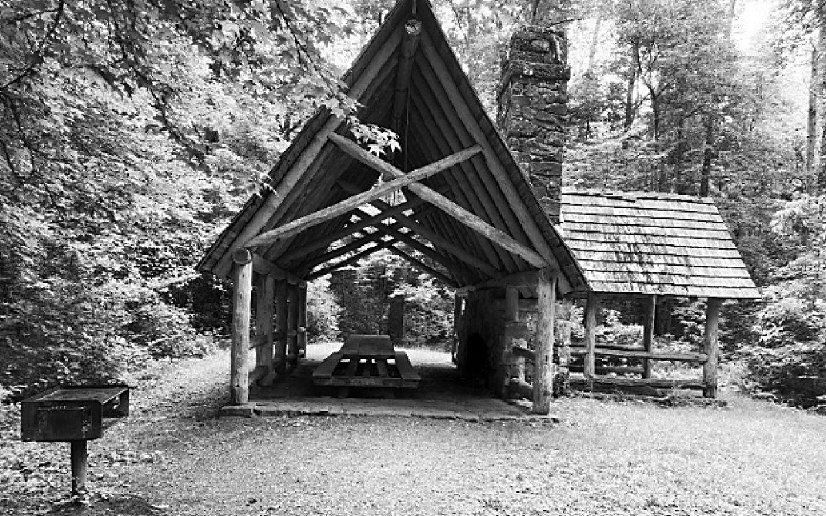
The recreation area is open from sunrise to sunset every day and requires a $4 amenity fee per vehicle. For more information, visit the USDA website.